
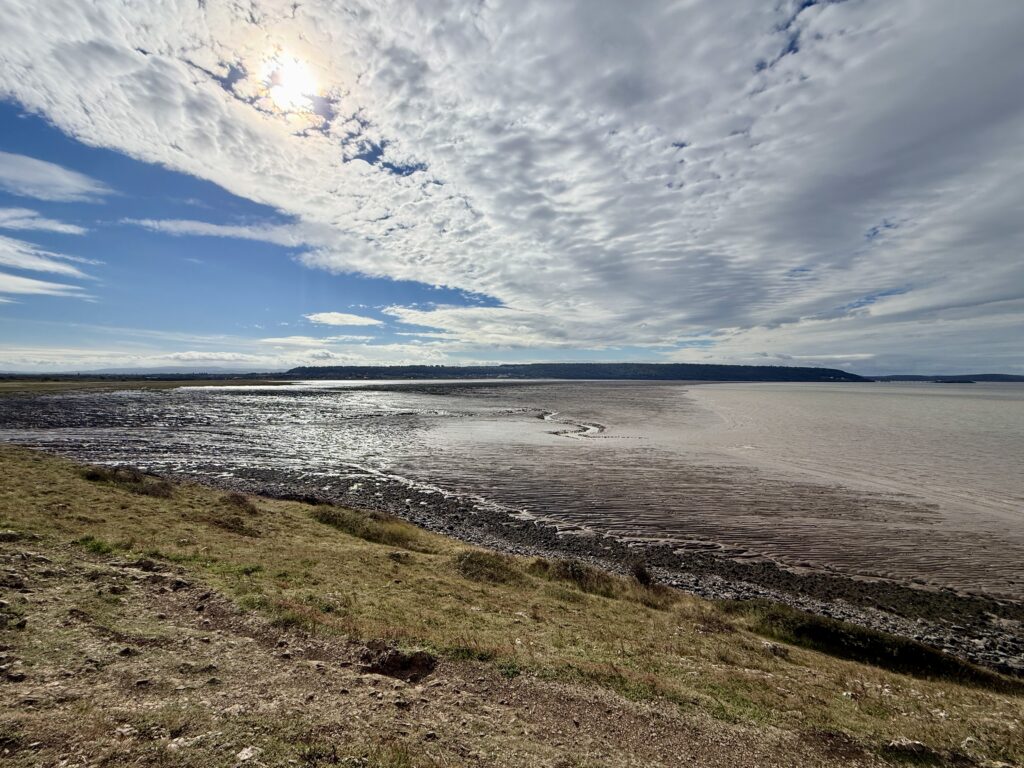
Sand Point had been on our radar since an earlier walk from Weston-super-Mare through Weston Woods to Sand Bay. At the northern end of the bay, the headland doesn’t look particularly dramatic. There is no great cliff rising above the sea as there is at Brean Down, but we knew there was a National Trust car park tucked away at the end of Beach Road and were curious enough to come back and explore.
It turned out to be one of those walks where the further we went, the more there was to see. Within a couple of hours we had climbed to a superb viewpoint, picked our way out towards Sand Point, found quiet pebble coves and beaches, crossed the old landscape of Middle Hope and ended up inside a former military weapons testing site at St Thomas’s Head.
There is much older history here too. Ancient field boundaries survive in the grass, there is evidence of Iron Age occupation and the medieval Woodspring Priory sits just inland. The whole headland feels slightly removed, despite being only a few miles from Weston-super-Mare.
We spent around two and a half hours exploring. We weren’t walking quickly and deliberately took the longer way back because, by then, we didn’t particularly want the walk to end.
Sand Point at a Glance
📍 Location:
Sand Bay, near Kewstoke and Weston-super-Mare
🥾 Route:
Sand Point, Middle Hope and St Thomas’s Head
📏 Distance:
Around 5 miles
⏱️ Walking time:
Allow around 2½ to 3 hours
⛰️ Difficulty:
Moderate, with steps and some rocky, uneven sections
🅿️ Parking:
National Trust Sand Point car park, BS22 9UD
💷 Parking charge:
£5 when we visited, free for National Trust members
🐕 Dogs:
Dog friendly, but livestock graze the headland
🚻 Toilets:
None at the National Trust car park
🥾 Footwear:
Walking shoes recommended, boots in wet conditions
🌊 Tide dependent:
No, although tide times are useful if exploring the shoreline
⭐ Best for:
Coastal views, walking, history, wildlife and picnics
Disclosure: Some of the outbound links on this page are affiliate links to sites that we use and would genuinely recommend. Using them doesn’t cost you extra, but it does help support this free guide. We also provide links to other sites that we believe may be helpful.
Parking at Sand Point and Middle Hope
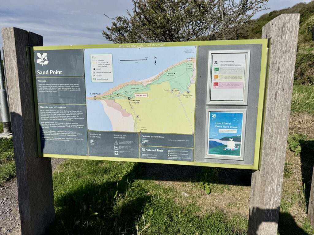
We started our Sand Point and Middle Hope walk from the National Trust car park at the end of Beach Road. The final stretch of the road is single track, although there are passing places along the way. Motorhomes can use spaces before the height barriers, with further parking beyond them for cars. Parking cost £5 for the day when we visited and was free for National Trust members, with payment through JustPark.
There isn’t much else here. There are picnic tables, bins and a useful map showing Sand Point, Middle Hope and St Thomas’s Head, but no toilets. The nearest facilities are back at Sand Road car park, where there is also somewhere to stop for a drink or ice cream. An ice cream van appears to visit the National Trust car park at some times, but we wouldn’t arrive relying on it.
There was plenty of parking when we visited, although we’d expect it to fill much more quickly on a fine summer weekend. Beach Road is narrow, and the National Trust specifically asks visitors not to park along it. Parking is restricted, and vehicles left on the road or in passing places could block other traffic and prevent emergency access. If the car park is full, return to Sand Road car park.
For more information about the wider area, see our Weston-super-Mare visitor guide for the town, seafront and places to visit, or our Weston-super-Mare beaches guide for detailed information about the coastline, facilities, parking and dog restrictions.
Our Sand Point and Middle Hope circular walk
Sand Point walk map
Our map below shows the five-mile circular route we followed around Sand Point, Middle Hope and St Thomas’s Head. You can use it to see the route, distance and main points of interest before setting out.
From the car park to the trig point
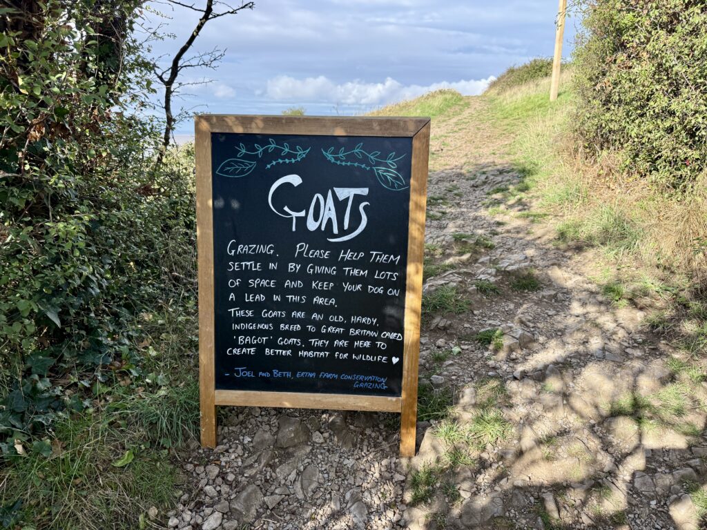
There are several paths from the car park. Turning left takes you towards the salt marsh and Sand Bay, while another route heads right before climbing towards Middle Hope. We took the more direct path ahead, climbing the steps through a gate towards the highest ground.
We encountered goats almost immediately. They are part of the conservation grazing on the headland and were a reminder that, although this is a popular place for dog walking, it is also working grazing land.
The climb is moderate rather than difficult. We walked it in walking sandals on a warm, dry day and managed perfectly well, but walking shoes would have been the better choice. In winter or after prolonged rain, we’d opt for boots.
As you approach the trig point the reason for gaining the height becomes obvious. The view opens in almost every direction, taking in Sand Bay, Kewstoke and Weston Woods, with Weston-super-Mare beyond. Steep Holm and Flat Holm sit out in the Bristol Channel and, in clear conditions, you can see across to Cardiff and the Welsh coast. Looking the other way, the coast runs north towards Clevedon with the Severn crossings visible in the distance.
It is a stunning viewpoint in good weather from a headland that looks fairly modest from Sand Bay.
From the trig point to Sand Point
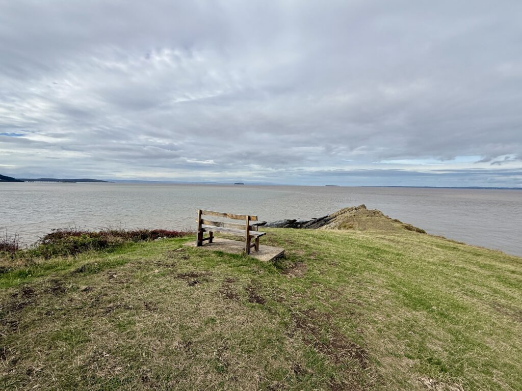
From the high ground we continued west, gradually descending towards Sand Point itself. The easy grass gives way to increasingly rocky ground as you approach the end.
The rocks are predominantly Carboniferous Limestone rather than granite. The geology around Middle Hope is particularly interesting because volcanic rocks, including tuffs and pillow lavas, also occur amongst the limestone. It is one of several reasons to look a little more closely at what initially seems to be a simple coastal landscape.
The tide was well out during our visit and the view south across Sand Bay was striking. Huge areas of sand and mud were exposed, cut by tidal channels which would later disappear beneath the returning Bristol Channel.
We went as far as the bench overlooking the final approach to the point and were happy to stop there. Whilst it is possible to scramble a little further, the rocks become more awkward and we didn’t think the small gain was worth the additional risk. There are steep drops, the sea is immediately below and this is a relatively remote place to injure yourself. Mobile reception throughout this walk was patchy too.
For most people, the bench makes a perfectly good destination before turning back.
A hidden cove below Sand Point
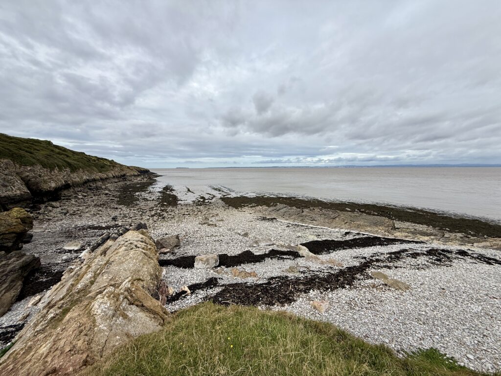
We retraced our steps for around 100 metres and then noticed a path dropping towards the northern side of the headland. Another walker had gone that way, which was enough encouragement for us to investigate.
Initially the path is quite narrow and descends through vegetation. The blackberries were ripe when we visited and far too tempting to ignore. After passing through a gate, the path reaches much flatter ground beside the Bristol Channel.
There is a small stony cove here which would make a lovely picnic stop. With the sea on one side and the grassy hillside rising on the other, this part of the walk felt surprisingly secluded. It actually reminded us a little of walking in the Isles of Scilly.
The cove may look tempting for a paddle when the tide is in, but we’d be much more cautious about swimming. The Bristol Channel has a very large tidal range and strong tidal flows, while these little coves have no lifeguard or other facilities. Sand Bay is probably a better choice if spending time by the water is the main purpose of your visit.
Along the shore to Middle Hope
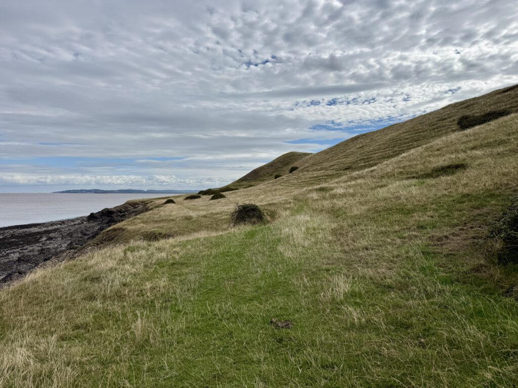
We continued eastwards with the sea on our left and Middle Hope rising gently to our right. This is an easier stretch of walking and probably the most peaceful part of our route.
Another small pebble bay appears further along. This is Middle Hope Beach, a secluded spot with good views up the Bristol Channel towards the Severn crossings. We also passed the remains of an old building beside the route. The National Trust’s circular walk mentions the remains of an old shrimping hut along this stretch of coast, once used by fishermen to boil their catch; we think this was the ruined remains that we saw.
Eventually the obvious route leaves the shore and climbs back towards the ridge of Middle Hope. There are wooden steps across an old wall, although a gate provides an easier way through.
Just a little way on we turned left and carried on towards St Thomas’s Head.
St Thomas’s Head: behind the old MOD fence
This is where the walk becomes particularly interesting.
Following the higher ground towards St Thomas’s Head eventually brings you to an old military fence. At first it isn’t entirely obvious where you are supposed to go. The answer is on a National Trust sign beside the fence.
The fence was originally constructed by the Ministry of Defence to keep people away from the firing range. It remains in place, now partly to protect historic remains from livestock. Rather than climbing it, visitors are directed alongside the fence for about five minutes to an unlocked gate at the end of the gravel track.
We followed the instructions and entered the former military site.
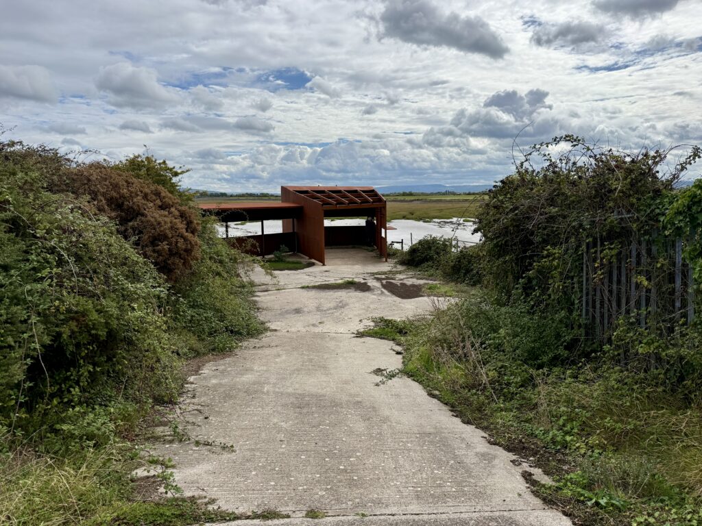
What remains today is mostly concrete rather than buildings. Broad tracks cross the headland, large paved areas hint at structures that have disappeared and routes lead down towards Woodspring Bay and the water at St Thomas’s Head. There is also a bird hide overlooking the bay.
It is quiet now, but it hasn’t always been.
The military history of St Thomas’s Head and Middle Hope
Middle Hope’s military use appears to go back at least as far as the First World War. National Trust archaeological records identify three unusual zigzag earthworks on the eastern side of the old field system. The area is known to have been used for military training during the Great War and the banks may be the remains of practice trenches.
During the Second World War, the isolation of this stretch of coast made it useful again. The National Trust records weapons testing at Sand Point, comparing its wartime role with that of Brean Down further south. Some of the experimental weapons were unusual enough never to progress beyond trials.
That connection with Brean Down is particularly interesting when walking the Somerset coast. Both headlands command wide views over the Bristol Channel and both became places where military experimentation could take place away from large population centres. Our Brean Down walk explores the fort and surviving military remains there in much more detail.
St Thomas’s Head continued to have a military role after the war and developed into a weapons testing establishment. That helps explain the concrete surfaces, roads and shoreline infrastructure that still look slightly out of place in what is otherwise open grassland.
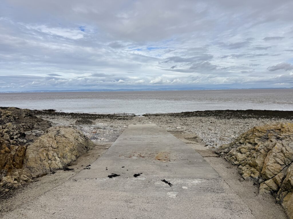
We followed one of those tracks down to the slipway. Once you know what happened here, the remains make much more sense. The headland wasn’t simply an observation point; equipment needed to be brought to and from the water and there were structures associated with trials around Woodspring Bay.
There is remarkably little left considering how recently the site was still in use. St Thomas’s Head remained a military research establishment long after the war and was still being used by QinetiQ as an explosives and shock test facility in 2007. It was finally decommissioned in 2009, with most of the remaining buildings subsequently demolished. Nature has reclaimed much of the site since, leaving the concrete roads, hard standings and slipway as some of the only reminders of its military past.
Back across Middle Hope
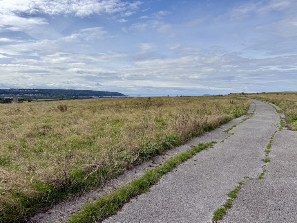
From St Thomas’s Head we turned back inland, following the concrete, former military track as it climbed gently towards Middle Hope.
This is where the older landscape becomes more apparent. Low banks and old field boundaries survive across the grassland. The OS map draws attention to the field systems and they are easy to overlook until you know what you are looking at.
We initially wondered whether they were Bronze Age. There is certainly prehistoric archaeology around Sand Point and Middle Hope, but the field boundaries themselves can’t currently be dated that confidently. The National Trust archaeological record describes them as potentially Iron Age, Roman or medieval, with earthwork banks extending across both the north and south facing slopes of Middle Hope. Some may subsequently have been worked by the community at nearby Woodspring Priory.
It’s fascinating. This isn’t a landscape belonging to one period. People have occupied, farmed and reused it for centuries, with military activity eventually being imposed on top of much older boundaries.
Woodspring Priory
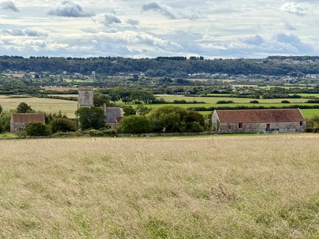
From Middle Hope you are also close to one of the most interesting historic buildings in this part of North Somerset.
Woodspring Priory, or Worspring as it was known in the Middle Ages, was founded around 1210 for Augustinian canons of the Victorine order. Its founder, William de Courtenay, had a remarkable family connection with one of the defining events of medieval English history. His grandfather was Reginald FitzUrse, one of the four knights who murdered Thomas Becket in Canterbury Cathedral in 1170. The foundation of the priory may have been an act of penitence, and St Thomas the Martyr became one of its patron saints.
Woodspring was never a particularly large or wealthy religious house. The Landmark Trust believes there were probably fewer than ten members of the community at any one time. Nevertheless, it enjoyed a burst of prosperity during the fifteenth and early sixteenth centuries when the church, infirmary and great barn were developed. Building work was still taking place surprisingly close to the Dissolution, when the priory was suppressed in 1536.
Its subsequent history is just as interesting. Rather than abandoning the church, later owners converted part of it into a house. Floors were inserted, windows altered and chimneys pushed through the former nave roof. The priory continued as a farmhouse for centuries, which is one reason so much of its story remains visible today.
The National Trust bought the Woodspring estate in 1968 as part of its Enterprise Neptune campaign to protect the coastline from Sand Point to St Thomas’s Head. The Landmark Trust took over the priory buildings the following year and carried out a long programme of restoration. Woodspring Priory can now actually be stayed in as a Landmark Trust property, while the surviving great barn remains in National Trust ownership.
We had hoped to get closer to the priory from the path at Middle Hope, and whilst the military track runs close to it we encountered private farm signs. We didn’t continue. There may be other public routes that can be used as part of a longer walk, so that just gives us another reason to return.
Across Middle Hope to the trig point
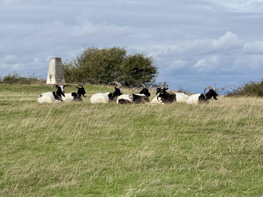
Back at the old wall and gate, we could have taken the more direct path towards the car park. By this point, however, we were enjoying ourselves too much to take the shortest route home.
We continued across Middle Hope instead, passing through the old field boundaries and gradually returning towards the high ground at Sand Point.
It is a lovely final section because the landscape you crossed earlier now makes more sense. What initially appeared to be grassy banks and walls has become evidence of a much older landscape, while behind you St Thomas’s Head has gone from an anonymous fenced off corner of the coast to somewhere with a surprisingly complicated story.
Eventually the trig point came back into view.
Back to Sand Point car park
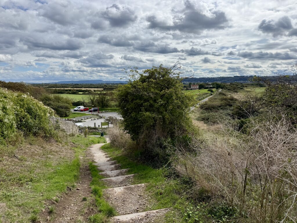
Returning to the trig point also gives you another chance to enjoy the view. We stopped again before following the steps back down towards the National Trust car park.
Our five-mile walk took around two and a half hours, but that included plenty of stopping, looking at maps, investigating paths and simply enjoying the views. For most visitors, we’d allow around two and a half to three hours, more if you want time to explore St Thomas’s Head and stop at the viewpoints along the way. You could certainly cover the ground more quickly. We wouldn’t.
Nor would we change the clockwise direction. Starting with the climb to the trig point gives the walk an immediate reward, Sand Point and its little coves follow naturally, and St Thomas’s Head provides a completely unexpected historical finale before the quieter return across Middle Hope.
Sand Point or Brean Down?
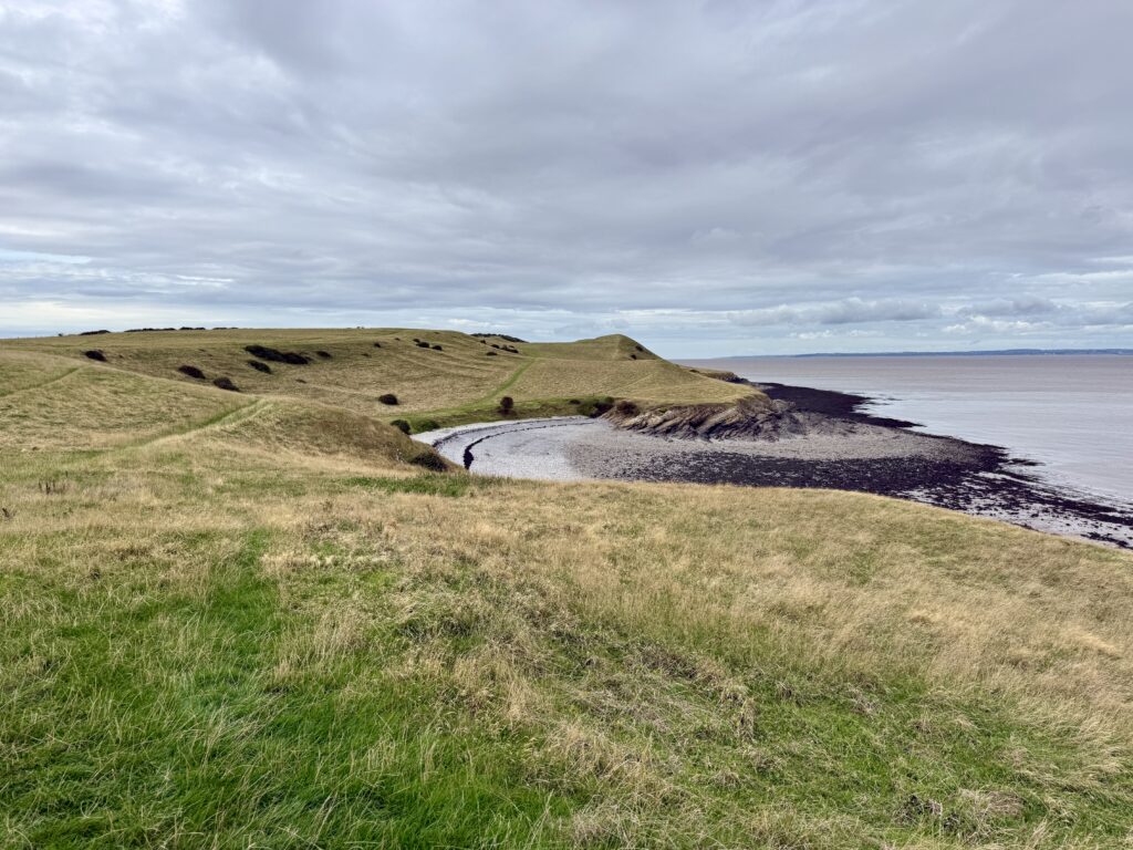
Do both.
Brean Down is the more immediately dramatic landmark. Its huge limestone ridge dominates the coast south of Weston and the walk combines extraordinary views with the fort at its western end.
Sand Point is subtler.
From a distance it looks like a fairly modest headland. Once you’re on it, the landscape keeps revealing something else: panoramic views, limestone cliffs, quiet coves, ancient earthworks, wildlife, Middle Hope and the strange remains of the former military site at St Thomas’s Head. That’s why we enjoyed it so much.
Our detailed Brean Down walk guide covers the steps, fort, parking, route and viewpoints if you’d like to explore the other side of Weston-super-Mare too. There is also the Brean Down Way which links Weston-Super-Mare to Brean and Burnham for both walkers and cyclists.
Make a walking weekend of Weston-super-Mare
One thing this walk reinforced for us is just how good Weston-super-Mare and the surrounding area can be as a base for a walking break.
In a series of walks, we have now covered the coastline from St Thomas’s Head south through Sand Bay and Weston-super-Mare, onwards towards Brean Down and eventually Burnham-on-Sea.
Each section feels different.
You could explore Sand Point one day, walk the Brean Down Way another and spend another day around Brean Down itself. Continue south and our Burnham-on-Sea visitor guide covers the coast, Low Lighthouse, Esplanade and places to explore around Bridgwater Bay.
Rather than choosing between them, we’d make a long weekend of it.
Weston-super-Mare probably makes the most practical base if you want restaurants, shops, public transport and plenty of accommodation, while the smaller villages around Sand Bay and Brean provide quieter alternatives.
Sand Point tide times and weather
Sand Point tide times
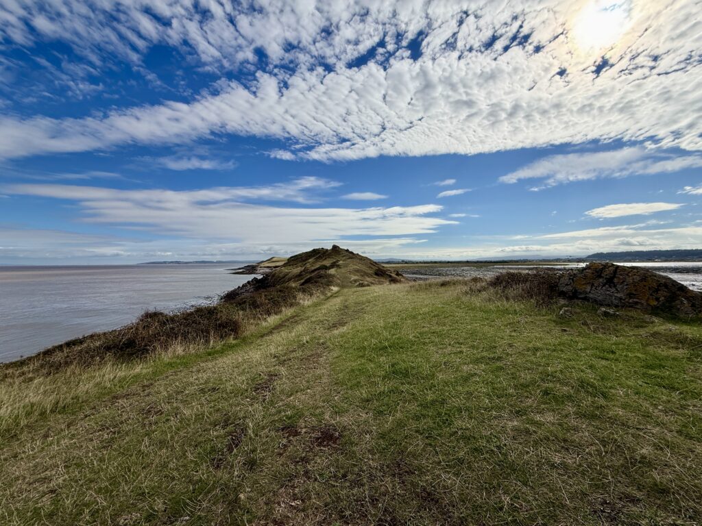
You don’t need to plan this walk around the tide. The route across Sand Point and Middle Hope remains on land throughout, although the coastline looks very different between high and low water.
There isn’t a separate tide station for Sand Point, so the table below shows tide times for nearby Weston-super-Mare. Sand Point is only a few miles away, so these provide a useful indication of the expected high and low tides, although the exact times and heights at Sand Point may vary slightly.
At low tide, extensive areas of sand and mud are exposed across Sand Bay and the Bristol Channel, as they were during our walk. Around high tide, the small coves on the northern side of Sand Point look completely different as the water comes much further in.
The Bristol Channel has one of the largest tidal ranges in the world, so the tide can move quickly. If you leave the main walking route to explore the shoreline, take particular care and don’t rely on the tide table as a guarantee of conditions at a particular cove.
Weather at Sand Point
It is worth checking the weather before setting out. Much of Sand Point and Middle Hope is open grassland with very little shelter, and once you are out on the headland you are exposed to wind and changing weather coming in across the Bristol Channel. We suggest checking the Met Office forecast for Sand Bay or BBC Weather for Weston-super-Mare before leaving.
On a warm, settled day we found it an easy and very enjoyable walk, but conditions could feel quite different in strong winds or persistent rain. We’d take an extra layer even when the weather looks reasonable and carry a lightweight waterproof if there is any chance of rain. Walking shoes are a better all-round choice than the walking sandals we wore, particularly after wet weather.
It is worth looking at the wind forecast as well as the temperature and chance of rain. The exposed sections around Sand Point, Middle Hope and St Thomas’s Head offer little protection when it is windy.
Visibility matters too. Some of the best parts of this walk are the long views across the Bristol Channel towards Wales, the Severn crossings and along the North Somerset coast, so a clear day adds considerably to the experience.
Is Sand Point worth visiting?
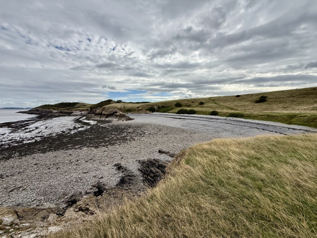
Absolutely.
Sand Point was one of those walks where curiosity paid off.
We expected a pleasant couple of hours on a modest headland. Instead, we found some of the best views we’ve seen around Weston-super-Mare, peaceful stretches of coastline, hidden pebble coves, excellent dog walking and an extraordinary amount of history.
The almost 360 degree view from the high ground alone makes the climb worthwhile.
But what really makes Sand Point memorable is the variety.
One moment you’re looking across Sand Bay towards Weston-super-Mare. The next you’re following a quiet path beside the Bristol Channel that feels strangely reminiscent of the Isles of Scilly. Then an old military fence appears and you’re suddenly walking through the remains of a former MOD establishment at St Thomas’s Head.
Allow around three hours, take a drink, wear sensible footwear and don’t rush.
Sand Point is a real hidden treasure on the North Somerset coast.
Sand Point FAQs
How long is the Sand Point walk?
Our circular walk around Sand Point, Middle Hope and St Thomas’s Head is around five miles. We completed it in about two and a half hours with plenty of stops, but we’d allow around two and a half to three hours so you have time to enjoy the viewpoints and explore the former military site.
Where do you park for Sand Point?
The National Trust Sand Point car park is at the end of Beach Road near Sand Bay, postcode BS22 9UD. The final section of Beach Road is narrow and single track with passing places. The National Trust asks visitors not to park on the road or in the passing places, so if the car park is full it is better to return towards Sand Bay.
Is parking free at Sand Point?
Parking at the National Trust Sand Point car park cost £5 for the day when we visited and was free for National Trust members. Payment was available through JustPark. Charges can change, so check the National Trust’s latest information before travelling.
Is Sand Point free to visit?
Yes. There is no admission charge to walk around Sand Point and Middle Hope. You may need to pay for parking if you use the National Trust car park and are not a National Trust member.
Do you need to check Sand Point tide times before walking?
No. The main walking route around Sand Point and Middle Hope is not tide dependent and remains on land throughout. It is still useful to know the tide times because Sand Bay and the small coves around the headland look very different at high and low tide. Weston-super-Mare is the nearest useful tide reference and timings at Sand Point should be similar, although not identical.
Can you swim at Sand Point?
There are small pebble coves around Sand Point and Middle Hope, but we’d be cautious about swimming. The Bristol Channel has a very large tidal range and strong tidal flows, while these coves are remote and have no lifeguards or conventional beach facilities. Sand Bay is a more practical option if spending time beside the water is your main reason for visiting.
Are dogs allowed at Sand Point and Middle Hope?
Yes. Sand Point and Middle Hope are popular for dog walking, but livestock graze the headland and there are also ground nesting birds. Dogs should therefore be kept under close control and you should follow any National Trust signs in place during your visit.
Are there toilets at Sand Point?
There are no toilets at the National Trust Sand Point car park. The nearest public facilities are around Sand Bay, so it is worth stopping there before beginning the walk, particularly if you intend to complete the longer route through Middle Hope and St Thomas’s Head.
Is the Sand Point walk difficult?
We’d describe our five-mile route as moderate rather than difficult. There are steps, some climbing and several rocky or uneven sections around Sand Point. Much of Middle Hope is easier grassland, but sensible walking shoes are recommended and boots may be preferable after prolonged rain or during winter.
Can you take a pushchair around Sand Point?
We wouldn’t recommend taking a pushchair around the full Sand Point walk. The routes onto the higher ground involve steps and some of the paths towards Sand Point are narrow, rocky and uneven. The complete route would also be unsuitable for most wheelchairs.
What is the difference between Sand Point and Middle Hope?
Sand Point forms the western end of the headland overlooking the Bristol Channel, while Middle Hope stretches eastwards towards St Thomas’s Head. Together they form the wider National Trust landscape commonly referred to as Sand Point and Middle Hope.
What can you see from Sand Point?
On a clear day there are wide views over Sand Bay and Weston-super-Mare, towards Steep Holm and Flat Holm, across the Bristol Channel to South Wales and Cardiff, and north towards Clevedon and the Severn crossings. The trig point area provides some of the best views on the walk.
What is at St Thomas’s Head?
St Thomas’s Head contains the remains of a former military weapons testing establishment. The site was used for defence research for many years and was finally decommissioned in 2009. Today you can still see concrete roads, hard standings, the slipway and other traces of its military past.
Is Sand Point worth visiting?
We think so. Sand Point combines excellent Bristol Channel views, quiet coastal paths, wildlife, hidden coves, ancient field systems and the unusual military remains at St Thomas’s Head. It is also much quieter in character than nearby Weston-super-Mare and Brean Down.
Over to you … have you recently travelled to South West England? What worked for you? What advice would you give to others? Please leave your comments below or join in the discussion in our Facebook Group.
New to South West England or returning after a while? Start with our ‘Travel Basics’ – quick guides packed with tips to help you plan your trip.

